Road Trip Rambles is a reoccurring series where we highlight some of our favorite road trips in and around Georgia. Not all trips stay in North Georgia, but every trip begins, ends or passes through here.
As a reminder, we encourage you to wander responsibly, leave where you go better than you found it, and be considerate of all the people who call where you wander home.

Our first trip is one of our favorite ones and a trip that we try to take regularly. It carries you through beautiful Northeast Georgia and into the Western Carolinas before bringing you back down the way you came. This trip is recommended for the weekend – with the assumption that you’re driving up from Atlanta on Friday afternoon and returning on Sunday afternoon. But you can easily do it all in 1 day as there is only about 4 hours of driving from Clayton and back again. It’s just easier and more leisurely to take it over a couple of days.

FRIDAY NIGHT: Begin in Clayton, Georgia.
We love Clayton. We’re biased because we live right down the road but it is one of the great jumping off points to a thousand different places. It is also squarely in the middle of a county that is over 60% National Forest and considered a rain forest due to it being one of the rainiest counties east of the Mississippi. For a full list of recommendations on places to get lost around town, see our Weekend Guide to Clayton. If you want to camp on Friday night, check out Black Rock Mountain State Park or the Lake Rabun Camping Area. Black Rock is open year round now and is one of Georgia’s best state parks while Lake Rabun Campground is only opened seasonally. For a nicer stay, check out the White Birch Inn or Beechwood Inn or one of the many area Airbnbs.
There are a surprisingly good number of restaurants in Clayton. U-Joint has an awesome outside patio with live music on the weekends, Fortify if you want something more upscale, and Fortify Pi if you love pizza. Sunday Diner has the best home cooked breakfast in town. While the Clayton Cafe has a great lunch.
And we’re biased, but we hope you swing by our shop downtown if you’re in the area.
SATURDAY MORNING: Clayton to Franklin
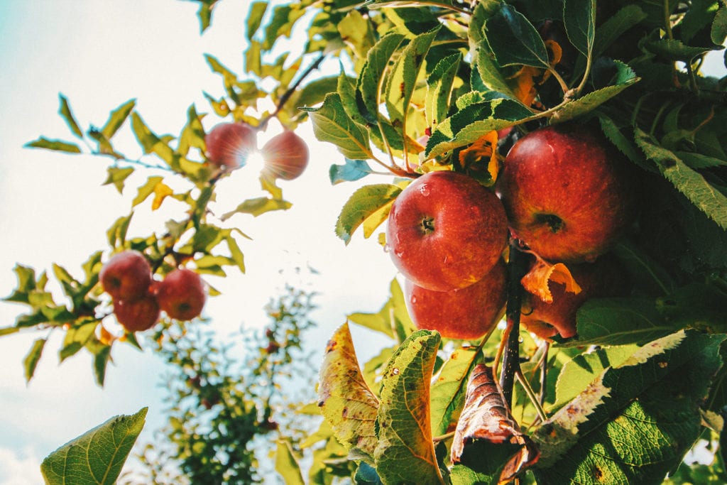
You should wake up bright and early on Saturday morning because you’re going to want to cram as much in as possible. Stop at White Birch Provisions before you leave for your morning coffee, homemade pastries and fresh baked bread for a picnic later in the day. Head up 441 towards Franklin North Carolina and be sure to stop at the road side produce stand of Osage Farms in Dillard for amazing fruits and vegetables and Culpepper’s Architectural Salvage in Otto, NC for a unique antique and vintage hardware shop.

SATURDAY MORNING: Franklin to Little Tennessee River
You can stop in Franklin if you want to do more shopping than you do exploring. There are a few very good antique shops with the best being Nestfeathers and Whistle Stop, and a good new and used bookstore, Books Unlimited. And while you may not want to go to a brewery in the morning, if you come through in the afternoon on Sunday, Lazy Hiker Brewing is a must stop.
From Franklin, take Highway 28 northwest out of town towards Bryson City. This is a gorgeous scenic drive that hugs the Little Tennessee River and climbs in elevation until you come to Tellico Road that crosses with a bridge. A few more miles down and you’ll find Needmore Road which is a long, lazy gravel road that hugs the Little Tennessee River. There are plenty of places to pull off for camping or a picnic here and the water is typically really shallow unless it’s been raining for a few days. If you decide to camp or stop, please remember to pack out your trash and leave things better than you found them. A few miles down Needmore Road you’ll come to an old suspension bridge. We definitely recommend stopping here.

The area is shallow and not great for swimming but there are a ton of fish holed up in the deeper pools (make sure you have a NC license) and the kids will be safe splashing around while you hang out. We recommend having a picnic here before running up to the Nantahala Outdoor Center.

SATURDAY AFTERNOON: Little Tennessee River to Nantahala Outdoor Center
It is only a short drive from this river spot over to the Nantahala Outdoor Center. If you want to do some whitewater rafting, you’re in the right place as there are multiple guide services here. Even if you don’t want to raft, you are still set. The NOC is a booming place with a couple of restaurants, live music on weekends, a huge outfitters, a small grocery-style store with beer, the Appalachian Trail running through the property, fire pits, kayakers and rafters crawling all over the place, and so much more. This is one of our favorite spots to spend an afternoon. We usually grab a 6-pack at the grocery (left side of street in the fork in the road where the A.T. comes out of the woods) and head across the bridge to sit by the river to read and drink. We always stick around for dinner and grab more beer and food at the restaurant under the big open air porch. We recommend staying at one of the area camping spots like the platform tents on site or Lost Mine Campground or Nelson’s Nantahala Hideaway. There are also a dozen or so “bunk-style” cabins geared towards the rafting crowd if you want hot water, a bed, and an old box tv.
SUNDAY MORNING: Nantahala Outdoor Center to Wayah Bald
Wake up on Sunday morning and make your way down Highway 74/19 towards Wayah Road. If you like old train tunnels, pay attention on the right hand side of the road for a small picnic area pull off (at about 35.290419, -83.664296).

If forest service roads and off-road trips are your thing, check out the Winding Stairs (on the left hand side of road at about 35.285019, -83.670098) which runs you pretty high up above the Nantahala Gorge. You can take this forest service road for a ways, but once you get to Queens Creek Lake and the dam, it’s better and prettier just to turn back and finish the route as we outline below. There is also another scenic pull off on the left hand side of Wayah Road next to the William Bartram sign. If you ever catch this place at dusk during a fly hatch, you won’t catch a prettier site than watching the mist, flies, and sun all dance together at sunset through the trees.


SUNDAY AFTERNOON: Wayah Bald to Home
Wayah Bald is just over 5,000 feet in elevation and the Appalachian Trail runs through it. It is an old observation fire tower. You can climb to the top of it for 360 degree scenic views. The backside of the parking lot also has a nice view and a huge clearing with big boulders if you want to spread out for a picnic or nap.


When you’re ready to leave, just follow the road back down towards Franklin. This is a pretty gorgeous drive too with a bunch of switch backs as you make your way back down to the highway.
You can see the map below. Feel free to improvise, add to, or take away as you see fit!